
In English
The High Coast, from Övik
Örnsköldsvik is the northern gateway to the High Coast World Heritage Site: steep coastal mountains, a national park, a 135 km trail and fishing villages on the islands. Here is what to see and how it fits together.
Last updated
Why the land is still rising
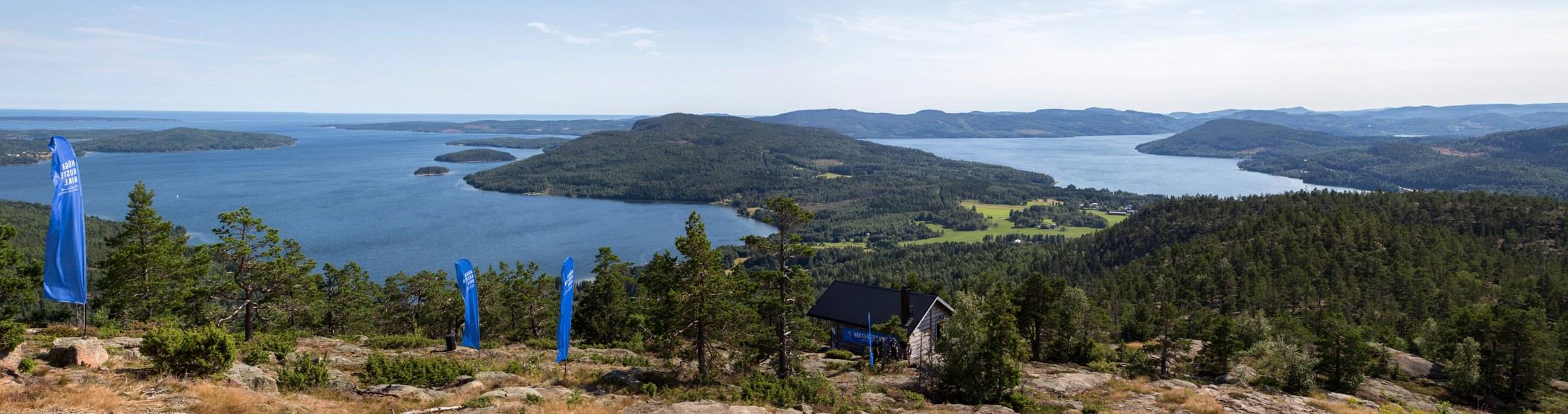
During the last Ice Age, an ice sheet about three kilometres thick pressed the earth's crust down. When it melted around 10,500 years ago, only a few small islands stood above the sea here. The land has been rising ever since, and their old shoreline is now 286 metres above sea level on Skuleberget – the highest coastline in the world. The land is still rising, by around 9 mm a year.
That story is why the High Coast was inscribed on the UNESCO World Heritage List in 2000. In 2006 the Kvarken Archipelago in Finland, on the other side of the Gulf of Bothnia, was added to the same site. You can see the result everywhere: forest-capped summits with bare, wave-washed slopes, and fields of round cobblestones high up in the forest.
Highlights within an hour of Örnsköldsvik
Skuleberget and naturum
The mountain with the world's highest coastline sits right by the E4. Walk up (the Grottstigen path is short and steep, Södra Bergsstigen longer and gentler), take the cable car, or climb one of four via ferrata routes. Naturum Höga Kusten at the foot of the mountain is the visitor centre for the World Heritage Site and a good first stop. More about Skuleberget
Skuleskogen National Park
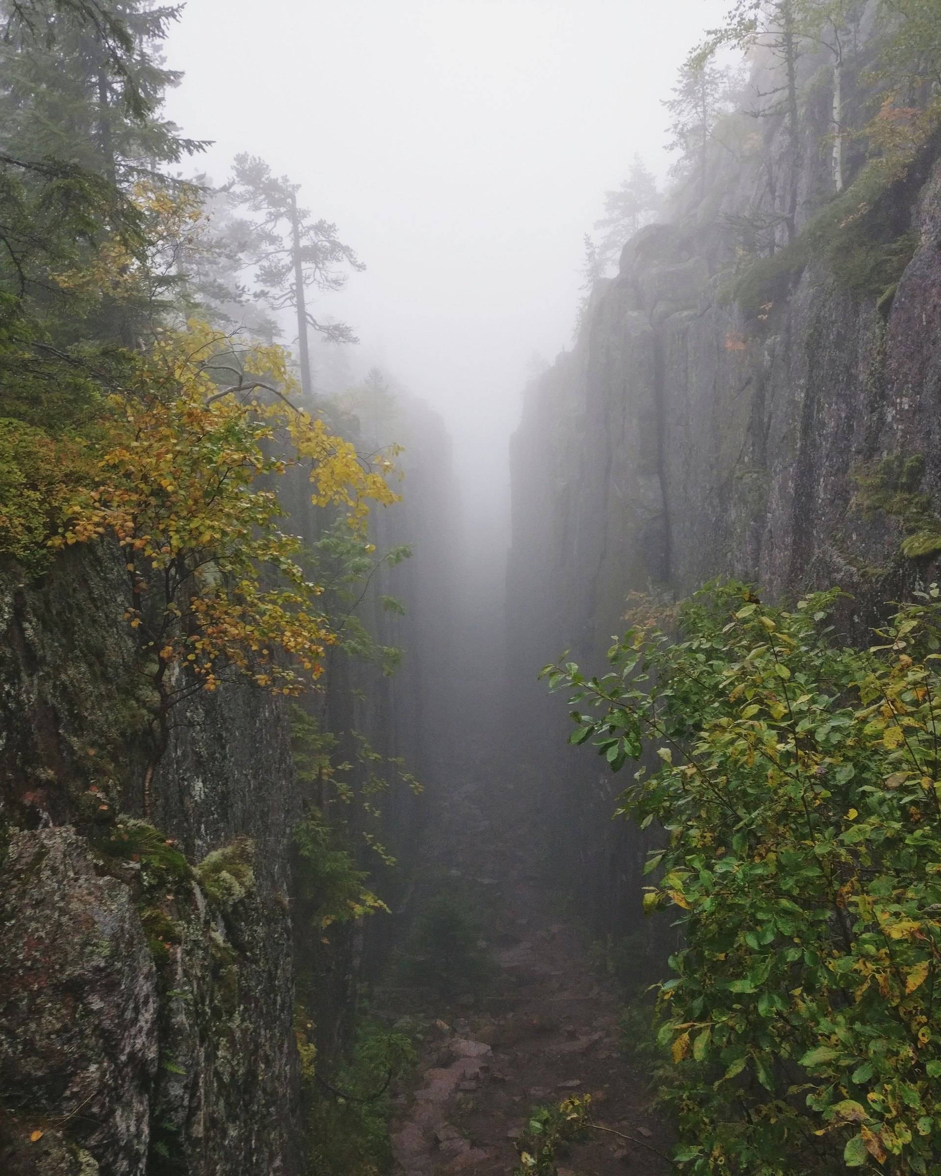
Sweden's 19th national park, created in 1984, with about 30 km of marked trails and three entrances: West, South and North. The famous sight is Slåttdalsskrevan, a canyon about 200 metres long that splits Slåttdalsberget in two. Since 2023 there is no trail through the canyon itself because of falling rocks – you see it from either end. The West Entrance has a boardwalk and a gravel path to the Nylandsruten viewpoint that work for wheelchairs and pushchairs. Check the County Administrative Board for which entrances are open in winter. More about Skuleskogen
The High Coast Trail
One of Sweden's 12 Signature Trails: 135 km in nine sections from Hornöberget in the south to central Örnsköldsvik, where it starts at Stadsträdgården. The whole trail takes 7–9 days, but every section can be hiked on its own and in either direction. Each section has at least one place to sleep under a roof. Good tasters: section 6 from Skuleberget to Skuleskogen's South Entrance, or the last section, Balesudden–Örnsköldsvik (18.8 km). Maps and practical tips are on Höga Kusten's trail page. Our page about the trail
Ulvön and Trysunda
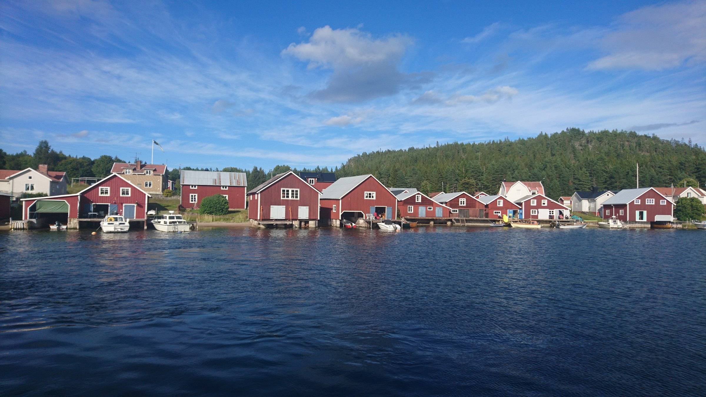
Ulvön was once the largest fishing village in Norrland, with red boathouses and a chapel from 1622. Trysunda is the best-preserved fishing village on the High Coast and has a sandy beach at Björnviken. The passenger ferry M/F Ulvön runs from Köpmanholmen to both islands; Höga Kusten-båtarna sail to Ulvön from Ullånger, Docksta and Mjällomslandet. None of the ferries take cars, so leave yours at the harbour. Booking ahead is a good idea.
The High Coast Bridge and the Tourist Road
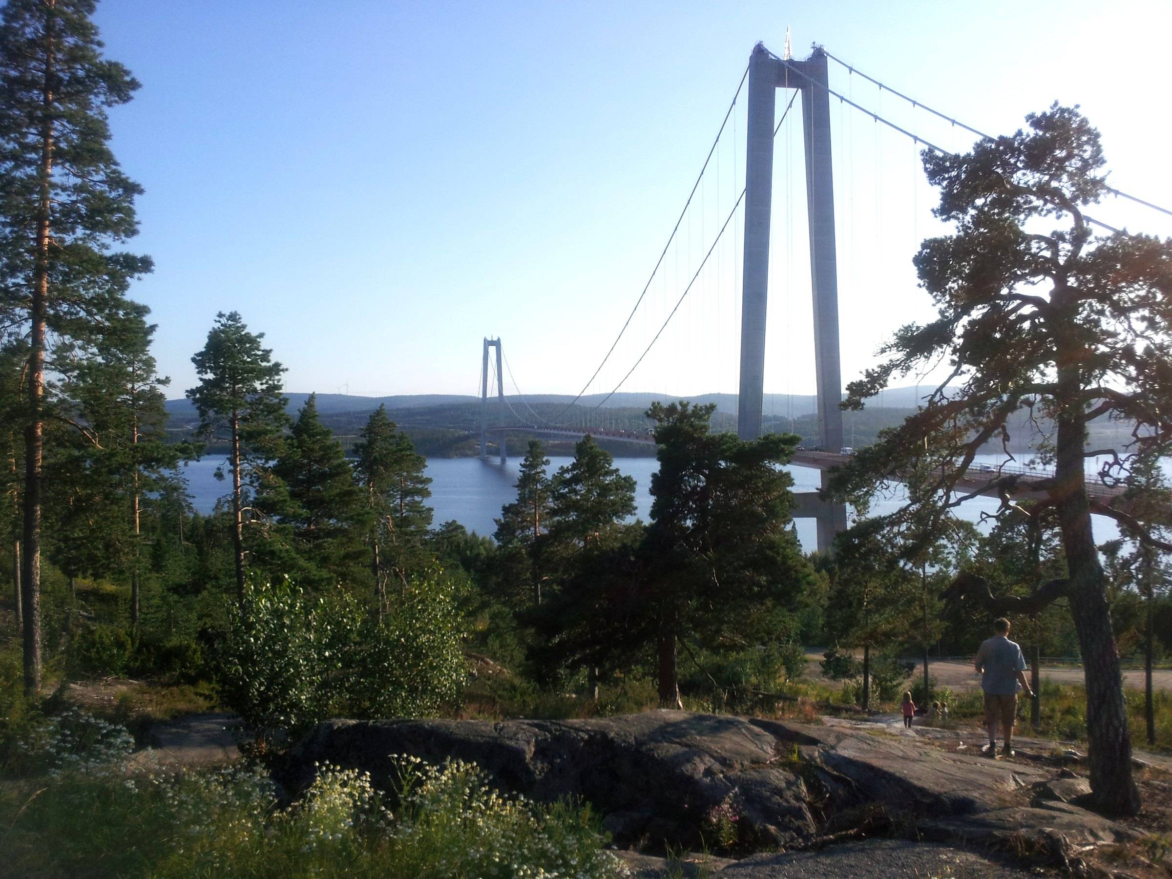
The E4 crosses the High Coast Bridge (Högakustenbron) between Härnösand and Kramfors, further south. Just north of the bridge, the brown-signposted Tourist Road winds along the coast past cafés, galleries and fishing villages such as Bönhamn. It takes about an hour and a half without stops, according to Höga Kusten.
Good to know
- The Right of Public Access (allemansrätten) lets you walk, swim and pick berries almost anywhere – as long as you don't disturb or destroy. Fires and dogs have their own rules. Read the Swedish Environmental Protection Agency's guide.
- Buses are run by DinTur and are cashless – pay by card on board. Plan on dintur.se.
- The official visitor guide for the whole region, with accommodation and events, is hogakusten.com.
Staying in Örnsköldsvik? See our things to do in town and where to eat.
Frequently asked questions
Is Örnsköldsvik part of the High Coast?
Yes. The High Coast (Höga Kusten) stretches from Härnösand in the south to Örnsköldsvik in the north, and the High Coast Trail starts or ends in central Örnsköldsvik.
Why is the High Coast a World Heritage Site?
Because of land uplift. The ice sheet of the last Ice Age pressed the land down, and since the ice melted the land has risen about 286 metres – the highest known shoreline in the world, at Skuleberget. The High Coast was inscribed by UNESCO in 2000, and Finland’s Kvarken Archipelago was added in 2006.
Can I walk through Slåttdalsskrevan?
No longer. In 2023 the County Administrative Board closed the trail through the canyon because of the risk of falling rocks. You can still see it from the northern and southern ends.
Can I get around the High Coast without a car?
Partly. On weekdays, bus 50 runs along the E4 between Härnösand and Örnsköldsvik, with stops near Skuleberget and Skuleskogen, and the ferry to Ulvön and Trysunda leaves from Köpmanholmen. A car makes it much easier to reach the smaller places. Timetables are on dintur.se.